GEMPA TEKTONIK WAMENA

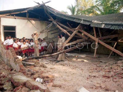
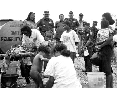
WAMENA Earthquake tektonik dahsyat in Wamena, Irja dated January 20, 1981 was early had destroyed all life, around the episentrum radius of 50 km square. Friday(30/1/1981) Each river stream lined at Ngarai solo is blocked and flowing unity forming "made funding" or a reservoir along 2 km, with a water height of 200 meters. Where artificial lakes are formed, previously located three villages each village of Duplik, Borik and Salime. All the populations are lost swallowing landslide. ANTARA PHOTO/Noeh/ed/hp/dw
The caption is automatically translated by application. Click here for the Bahasa Indonesia version.
Tags:


