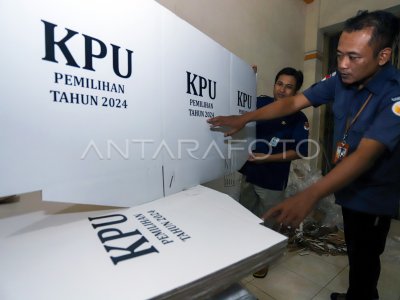
GPS 2024 TPS Mapping Mapping

El oficial KPU City Blitar con la Selección Panitia de Sub-distritos (PPK) mapeando el punto del Lugar de Determinación de Voz (TPS) utilizando la aplicación Global Positioning System (GPS) en una de las ubicaciones en Blitar City, Java Oriental, Martes (11/7/2023). The Planning Division, KPU City Blitar Data and Information innovating the mapping system using the GPS which is the only in Indonesia to facilitate voting in knowledge the current conditions (real time) of the TPS position, the capacity of the number of votantes, as well as the KPPS officer, to support the speech of the implementation of the Election on the next 2024. ANTARA PHOTO/RFID Anshori/nym.
The caption is automatically translated by application. Click here for the Bahasa Indonesia version.
Foto relacionada
Tags:


