SUSTITUCIÓN DEL MAPA DE NKRI
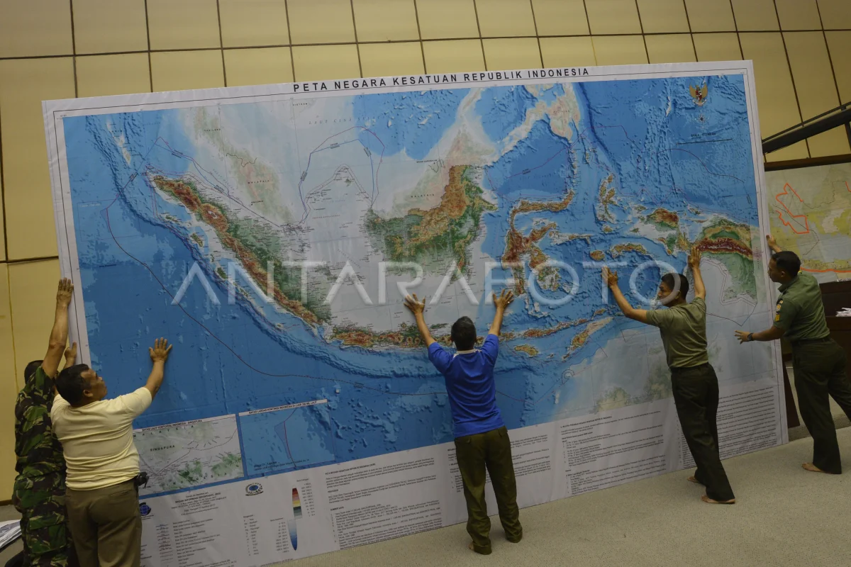
The Directorate of the Army Topography installed the NKRI Map in the Commission II DPR meeting room, Parliament Complex Senayan, Yakarta, Friday (5/7). El tamaño de mapa de 5.4x3,5 metros expedido por la Agencia de Información Geoespaal sustituyó el mapa antiguo para renovar información como área regional e intercambio regional en Indonesia. ANTARA PHOTO/Rosa Panggabean/mes/13.
The caption is automatically translated by application. Click here for the Bahasa Indonesia version.
Foto relacionada

Tags:


