MAPA DEL SITIO
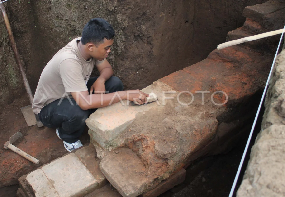
Los trabajadores cavando mapas de tierra que han sido lineales alrededor del sitio Semarum, Semarum Village, Durenan, Trenggalek, Java Oriental, Martes (1/4). The existence of residential buildings above the area of semarum sites that become one of the evidence of the cikal-bakal directions formed by the Trenggalek Regency is alarmed to damage the potential of cultural reserves. ANTARA PHOTO/Sahlan Kurniawan/ed/pd/14.
The caption is automatically translated by application. Click here for the Bahasa Indonesia version.
Foto relacionada

Tags:


