LANZAMIENTO DEL MAPA DE LA PISTA DE ATERRIZAJE 2017
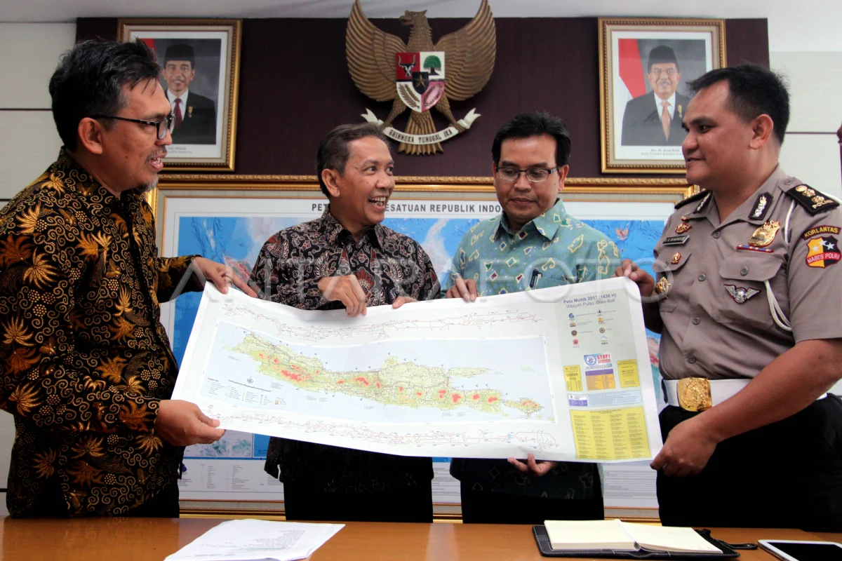
Director de la Agencia de Información Geoespacial (BIG) Hasanuddin Z Abidin (segunda izquierda), Representante del Instituto Nacional de Tecnología (Itenas) Sumarno (segundo derecho), Kasubdit Korlantas Mabes Polri AKBP Ronald R Rumondor (derecha) y Jefe del Centro de Mapping del Espacio Tata y Atlas Mulyanto West Darmawan (izquierda) muestra el mapa de aterrizaje de 2017 Geogo Geospatial Information Agency (BIG) through the Space and Atlas Mapping Center in cooperation with Traffic Corres (Korlantas) Mabes Polri and National Technology Institute (Itenas) released the Offline version Mudik Line Map (print) 2017 accurate, latest and the information can be responsible for the position and geographical location of objects along the lipic path in Java Island. ANTARAFOTO/Yulius Satria Wijaya/ama/17.
The caption is automatically translated by application. Click here for the Bahasa Indonesia version.
Tags:


