CARTOGRAFÍA DE RÍOS EN YAKARTA

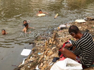
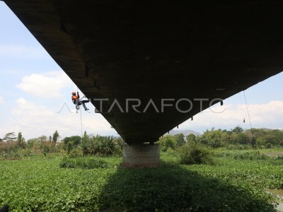
Wes (11/1). The National Agency of Disaster Management (BNPB) recorded along with the threat of flooding in Yakarta, which is much large, then the whole river in Yakarta perdu was arranged in a normalized manner. ANTARA PHOTO/Muhammad Adimaja/foc/18.
The caption is automatically translated by application. Click here for the Bahasa Indonesia version.
Tags:


