CARTOGRAPHIE DE LA MENACE POTENTIELLE D'ÉRUPTION VOLCANIQUE
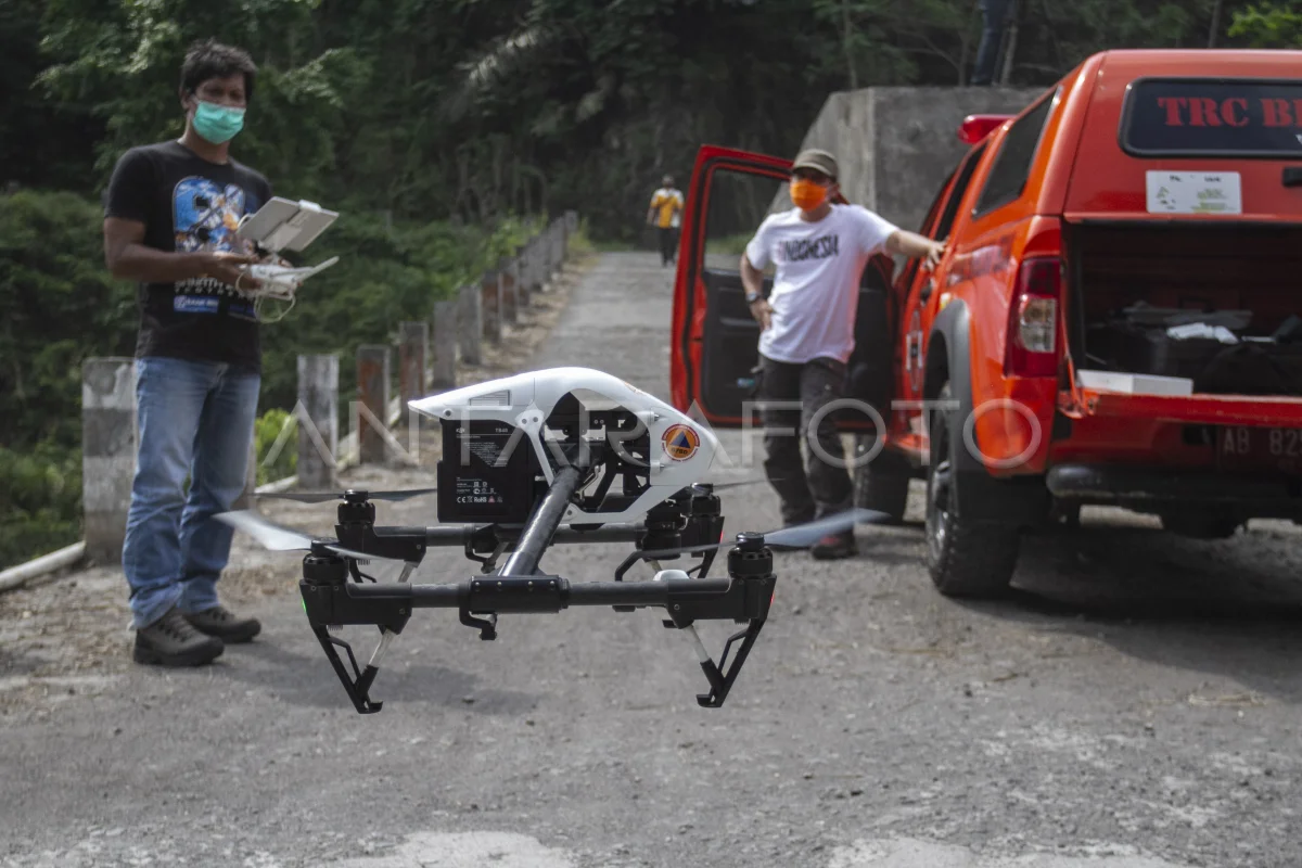
Fast Reaction Team (TRC) Regional Disaster Management Agency (BPBD) Yogyakarta Special Region (DIY) éclaire l'avion nirawak lors de la cartographie de la région à Turgo, Pakem, Sleman, IN Yogyakarta, vendredi (17/7/2020). TRC BPBD DIY mapping potential hazards in the event of Merapi Mountain eruption as a form of disaster mitigation. ANTARA PHOTO/Hendra Nurdiyansyah/wsj.
The caption is automatically translated by application. Click here for the Bahasa Indonesia version.
Photo associée

Tags:


