Mapping of the dangers of the lembang

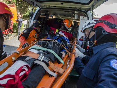
Les gens tournent le panorama dans la région touristique de Keraton Tebing qui fait partie de Sesar Lembang à Ciburial, Bandung Regency, West Java, mardi (21/5/2024). Basé sur Carte Carte Carte Carte Carte Carte Carte Carte Cartographie et Centre indonésien d'études de tremblement de terre (Pusgen), Sesar Lembang dont la longueur est d'environ 30 km a une puissance de magnitudo maximale de 6.8. ANTARA PHOTO/Raisan Al Farisi/Spt.
The caption is automatically translated by application. Click here for the Bahasa Indonesia version.
Photo associée
Tags:


