PLAN DE DÉVELOPPEMENT GÉOPARK DE MONTAGNESEWU

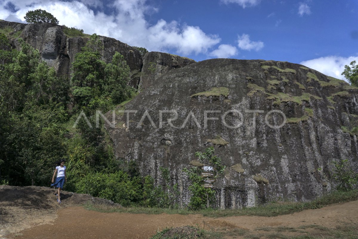
Les visiteurs bénéficient de vues du sommet du mont Api Purba, village de Nglanggeran, Patuk, Gunungkidul, IN Yogyakarta, mardi (23/8). Une fois créé par l ' UNESCO dans le Global Geoparks Network, le Gouvernement de Gunungkidul Regency coopère avec Pacitan et Wonogiri pour égaliser la perception de développer le tourisme dans la zone de Gunungsewu Geopark. ANTARA PHOTO/Hendra Nurdiyansyah/aww/16.
The caption is automatically translated by application. Click here for the Bahasa Indonesia version.
Photo associée
Tags:


