SIMULATION DE LA GESTION DES CATASTROPHES
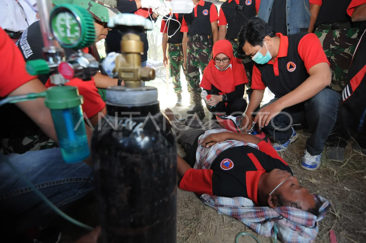
L'équipe de santé mène la première aide aux citoyens lorsque la simulation de la catastrophe du Mont Merapi dans le Well, Tamansari, Boyolali, Java Tenggah, mardi (30/7/2019). La simulation effectuée dans le village de la montagne Merapi, qui est d'environ 7 Km, a pour but de fournir des connaissances autonomes pour les habitants en ce qui concerne l'état de la catastrophe de la montagne Merapi. ANTARA PHOTO/Aloysius Jarot Nugroho/foc.
The caption is automatically translated by application. Click here for the Bahasa Indonesia version.
Photo associée


Tags:


