DISASTER MAP SIMULATION

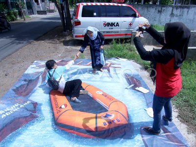
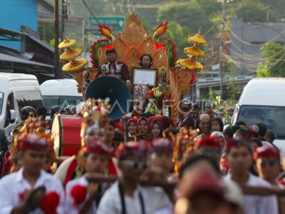
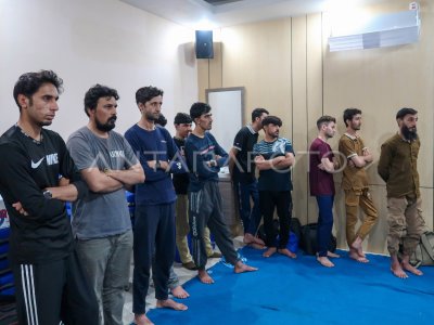
Photos above mural flood on disaster map simulation in Banyuwangi, East Java, Tuesday (11/2/2020). Community-based Disasters (Sibat) community, held a disaster simulation in how to invite people to take photos and upload to social media accounts to map disasters. ANTARA PHOTO/Budi Candra Setya/hp.
The caption is automatically translated by application. Click here for the Bahasa Indonesia version.
Related photo
Tags:
