MAPPING POTENTIAL THREAT OF VOLCANO ERUPTION
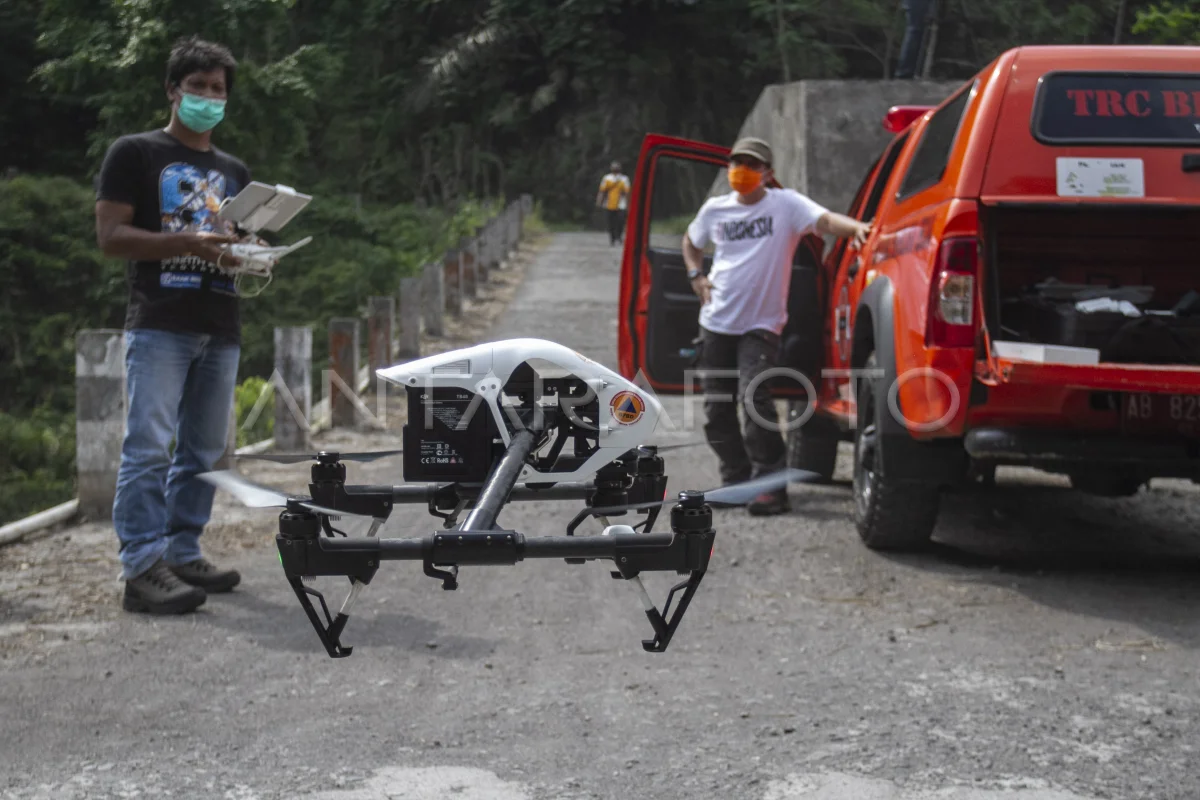
Fast Reaction Team (TRC) Regional Disaster Management Agency (BPBD) Yogyakarta Special Region (DIY) enlightens the nirawak aircraft when mapping the region in Turgo, Pakem, Sleman, IN Yogyakarta, Friday (17/7/2020). TRC BPBD DIY mapping potential hazards in the event of Merapi Mountain eruption as a form of disaster mitigation. ANTARA PHOTO/Hendra Nurdiyansyah/wsj.
The caption is automatically translated by application. Click here for the Bahasa Indonesia version.
Related photo

Tags:


