SEMERU MOUNTAIN ACTIVITY

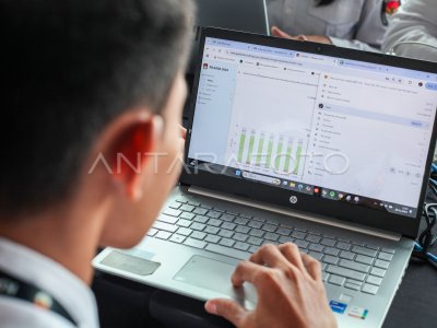
Gunung Semeru activity is recorded through the Seismograph from the map of the village of Sumberwuluh, Candipuro, Lumajang, East Java, Monday (6/12/2021). Gunung Semeru again issued a hot cloud with a distance of 2.5 kilometers to lead to the Cobokan Besuk Curah. ANTARA PHOTO/Umarul Faruq/aww.
The caption is automatically translated by application. Click here for the Bahasa Indonesia version.
Related photo
Tags:


