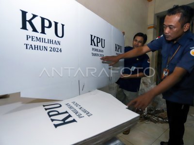
GPS-based 2024 TPS Mapping Mapping

The KPU City Blitar officer with the Panitia Selection of Sub-districts (PPK) mapping the point of the Voice Determination Place (TPS) using the Global Positioning System (GPS) application in one of the locations in Blitar City, East Java, Tuesday (11/7/2023). The Planning Division, KPU City Blitar Data and Information innovating the mapping system using the GPS which is the only in Indonesia to facilitate voters in knowing the current conditions (real time) of the TPS position, the capacity of the number of voters, as well as the KPPS officer, to support the speech of the implementation of the Election on the next 2024. ANTARA PHOTO/RFID Anshori/nym.
The caption is automatically translated by application. Click here for the Bahasa Indonesia version.
Related photo
Tags:


