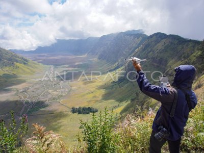
Mapping of the displacement location of the lihar floods of cold Mount Ibu

BNPB’s officer prepares the aircraft without the V-toll Wingtra crew to monitor the population’s settlement area in the West Halmahera District Dragon Village, North Maluku, Wednesday (5/6/2024). The mapping to see the river path that leads to the downstream region and passes through several settlements of citizens entering in the cartilage of the flooding disasters of the cold mountains of Mount Ibu. ANTARA PHOTO/Andri Saputra/aww.
The caption is automatically translated by application. Click here for the Bahasa Indonesia version.
Related photo
Tags:


