Geospatial information role for climate action strategy improvement

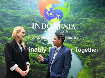
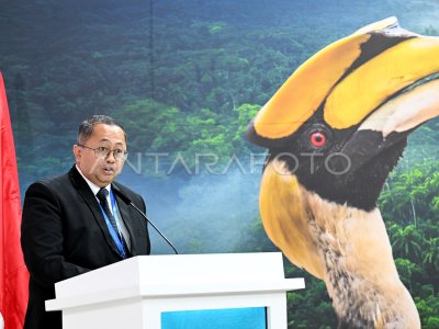
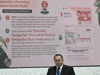
Head of Indonesia’s Geospatial Information Agency Muh Aris Marfai (right) combined with the Head of Forestry Team and Climate Change FAO Amy Duchelle at the discussion panel at Paviliun Indonesia COP29 UNFCCC, Baku, Azerbaijan, Thursday (14/11/2024). The activity discusses the role of geospatial information to improve climate action strategy towards net zero emission. ANTARA FOTO/Andika Wahyu/tom.
The caption is automatically translated by application. Click here for the Bahasa Indonesia version.
Related photo
Tags:
