Land Limit Map
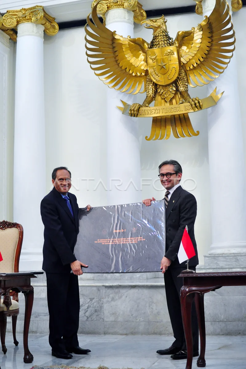
Menlu Marty M.Natalegawa (right) along Menlu Timor Leste Jose Luis Guterres (left) showed the map of land boundary attachments of RI and Democratic Republic of Timor Leste (RDTL) signed by both foreign ministers both countries, in Pancasila Building, Kemlu RI, Jakarta, Friday (21/6). PHOTO ANTARA/Kemlu/Suwandy/ed/pd/13
The caption is automatically translated by application. Click here for the Bahasa Indonesia version.
Related photo

Tags:


