EARTHQUAKE REKAM

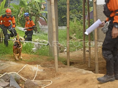
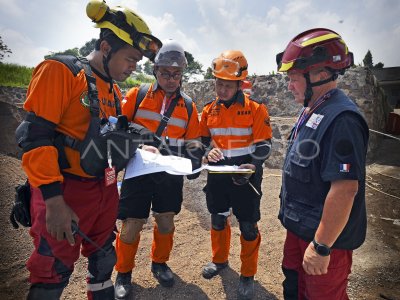
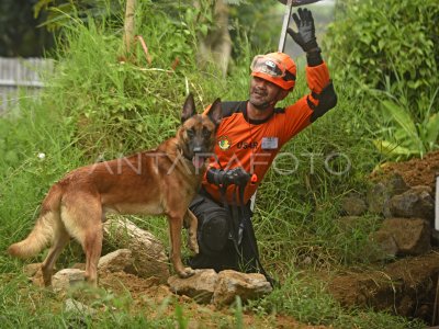
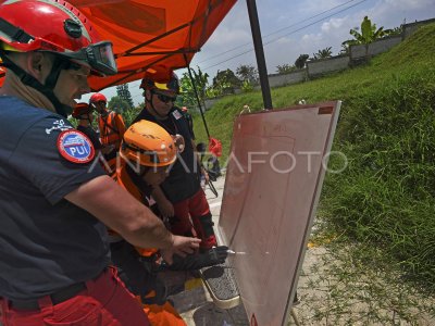
A remote sensing recorder crosses above the terisolir area in Rempah Village, Ketol, Central Aceh, Aceh Province. Wednesday (10/7). The National Agency for Disaster Management (PNPB) uses a long-distance sensing technology for mapping and earthquake victim search primarily in remote and difficult to penetrate through the ground road. ANTARA/Rahmad/s/NZ/13
The caption is automatically translated by application. Click here for the Bahasa Indonesia version.
Tags:

