PEATLAND MAPPING WORKSHOP

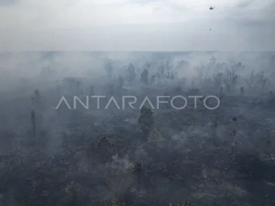
Head of Geospatial Information Agency (BIG) Asep Karsidi (left) combined with representatives of FAO Indonesia Mustafa Imir (center) and Head of Haryono Ministry of Agriculture (right) at the opening of the Geospatial Information Workshop on the Tematik Lahan Tropis For Agriculture in Bogor, Jabar, Thursday (7/11). The workshop attended by several representatives of the country and peat experts for peatland mapping in Indonesia that will be used for the purpose of food endurance where Indonesia recorded the fourth largest peatland in the world or 20 million ha. ANTARA PHOTO/Jafkhairi/s/Spt/13
The caption is automatically translated by application. Click here for the Bahasa Indonesia version.
Tags:


