MONITORING CONDITION OF LAPINDO SOIL
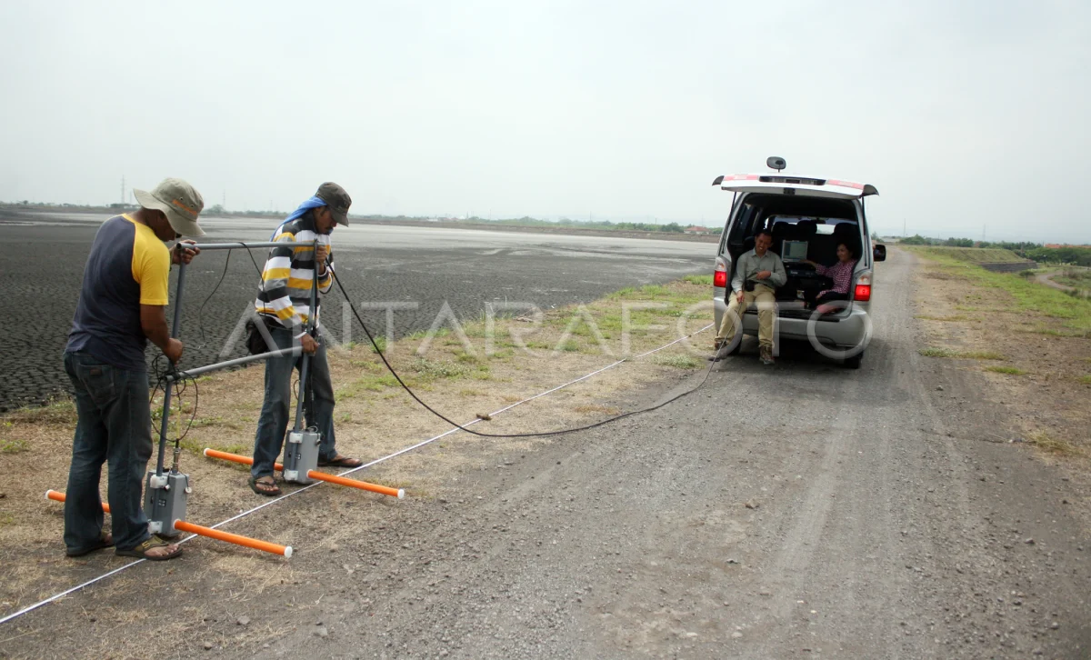
The officers of the Bandung Geology Agency conducts the recording of the state under the slurries using Georadar tools above the Tanggul mud Lapindo Sidoarjo, East Java, Monday (18/11). The monitoring activity to identify the potential of land movements around the Seburan Mud Lapindo region. ANTARA PHOTO/Rudi Mulya/Koz/ama/13.
The caption is automatically translated by application. Click here for the Bahasa Indonesia version.
Related photo

Tags:


