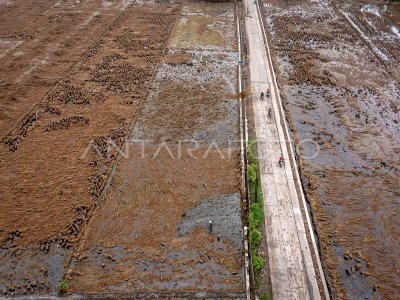
MAPPING SLAMET MOUNTAIN EVACUATION PATH

TNI members embrace the path of a set when the mapping of the evacuation path in the Dusun Gajah Nguling, the Cross, Jateng, Thursday (13/3). Mapping of evacuation paths in a number of settlements located at 2 - 4 Km radius of the Slamet Mountain crater to anticipate the safety of citizens in the event of the Slamet Mountain eruption. ANTARA PHOTO/Oky Lukmansyah/Asf/Spt/14.
The caption is automatically translated by application. Click here for the Bahasa Indonesia version.
Related photo
Tags:


