BENOA PORT WILL BE MAPPED

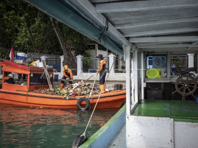
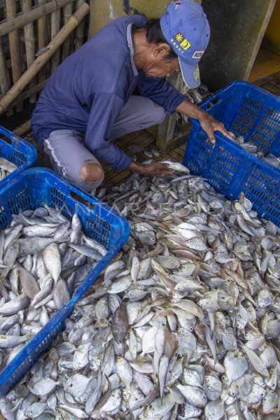
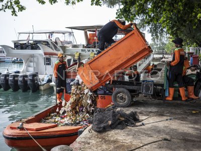
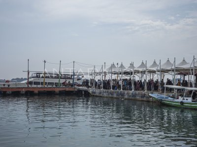
A boat crossing next to the fish boat that parks in the waters of Benoa Harbour, Denpasar, Thursday (16/4). Benoa ports are developed into 4 zones to guarantee the effectiveness of the flow of goods and logistics in the increasingly collapse of port activity in the last 10 years. ANTARA PHOTO/Nyoman Budhiana/Koz/mes/15.
The caption is automatically translated by application. Click here for the Bahasa Indonesia version.
Related photo
Tags:


