SEA MAP BENOA HARBOR
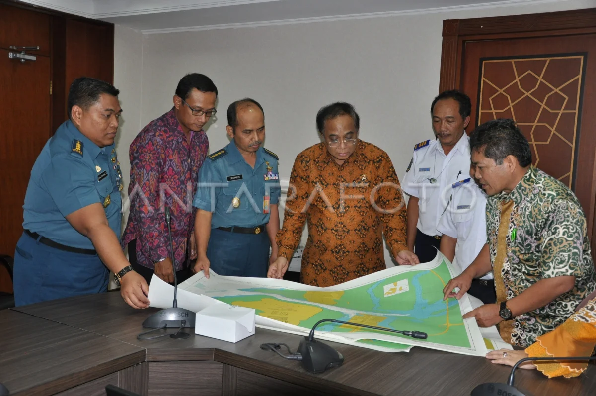
Menko Kemaritiman Indroyono (left four) accompanied by Deputy IV Kemenko Kemaritiman Safri Burhanuddin (right) and office of the TNI Hydros TNI AL Office, PT.Pelindo III and Ministry of Transportation to observe Marine Maps and Electronic Navigation Chart of Benoa Bali Port in the Jakarta Kemaritiman Menko Kemaritiman Office, Wednesday (6/5). The latest maps are used to support tours that will lean in Benoa Bay and are currently available 436 electronic Chart by Dishidros TNI AL. ANTARA PHOTO/HO/Efrimal Bahri/Rei/ama/15.
The caption is automatically translated by application. Click here for the Bahasa Indonesia version.
Tags:


