NKRI OFFICIAL MAP 2015
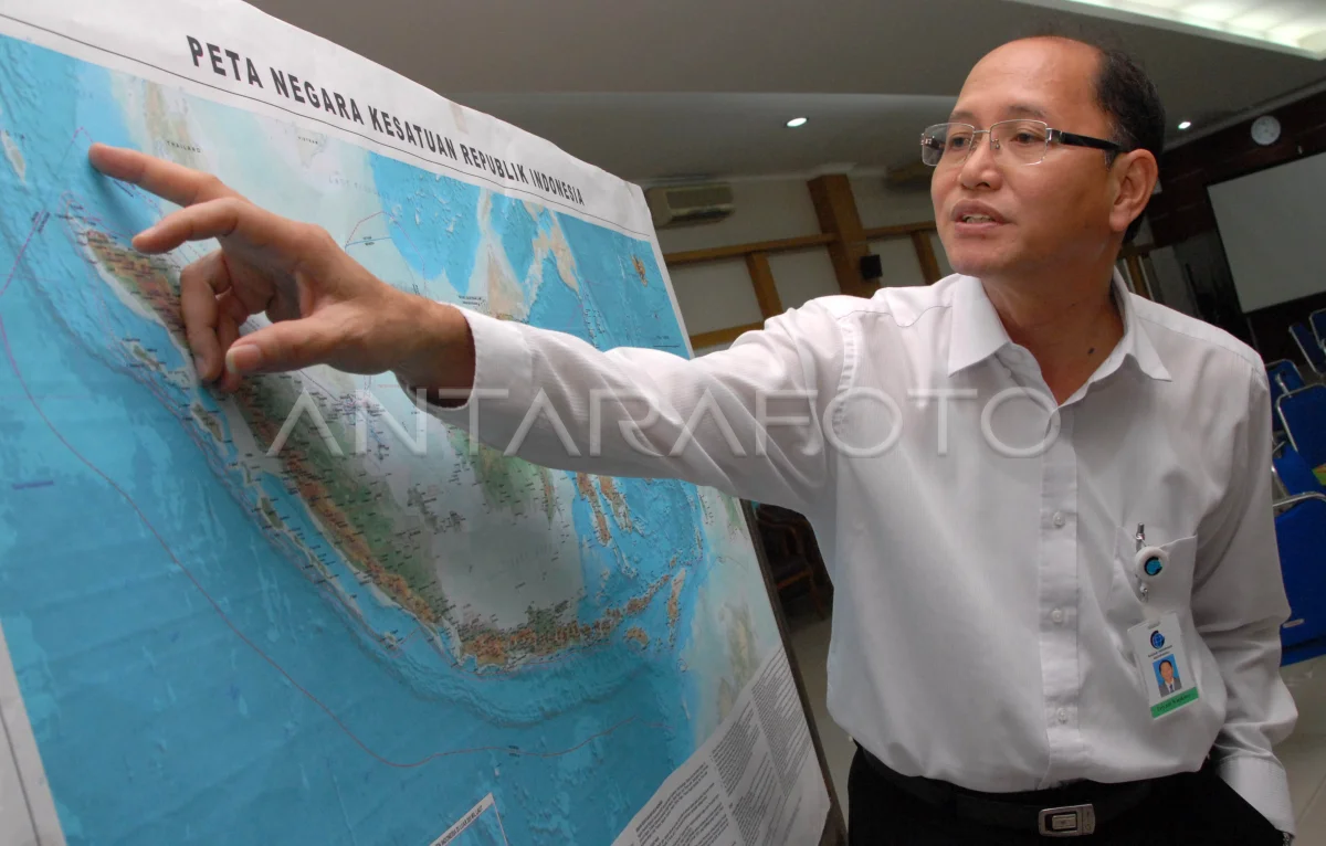
Head of Geospatial Information Agency (BIG) Priyadi Kardono explained about the State map of the Republic of Indonesia (NKRI) edition of 2015 attainment of Penetapan Map NKRI 2015 in Cibinong, Bogor, Jabar, Tuesday (12/5). The 2015 edition NKRI map is the revision of the 2014 map that depicts the NKRI sovereignty region covering the territory and sealand, either in the form of territorial sea, archipellent waters and inland waters, as well as Indonesian sovereign rights in the Supplement Zone, the Exclusive Economic Zone (ZEE) and the Landas Kontinen. ANTARA PHOTO/Jafkhairi/s/pd/15
The caption is automatically translated by application. Click here for the Bahasa Indonesia version.
Related photo

Tags:


