GOOGLE MAPS STREET VIEW
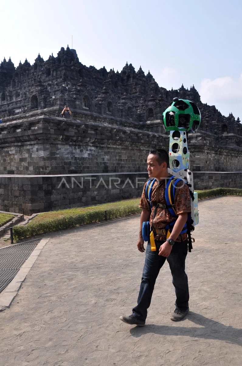
A operator brings the Street View Trackker camera in the form of a backpack walk from Borobudur temple when implemented a picture recording by Google Maps in the Borobudur Temple Tourism Park complex (TWCB) Magelang, Jateng, Sunday (27/9). At the launch of the street view Candi Borobudur, which is now accessible through Google Maps, also launched Google Cultural Institute for Indonesia. ANTARA PHOTO/Anis Efizudin/pd/15
The caption is automatically translated by application. Click here for the Bahasa Indonesia version.
Related photo

Tags:


