MAP AREA IMPACT ERUPSI SOPUTAN

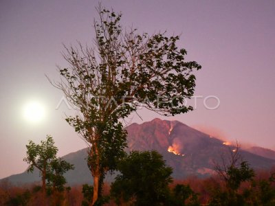
The Central Police of Vulcanology and Mitigasi Disaster Geology (PVMBG) shows the location of the fall of the volcanic dust charge of Mount Soputan in Selian Village 3, Southeast Minahasa, North Sulawesi, Tuesday (5/1). Not less than nine villages in Minahasa Regency are affected by volcanic ash eruption of Mount Soputan. Three villages that are exposed to Noongan Raya, Noongan, and Raringis Village with dust thickness reaching 3-5 cm. ANTARA PHOTO/Adwit B Pramono/kye/16.
The caption is automatically translated by application. Click here for the Bahasa Indonesia version.
Tags:
