MARINE MAPPING SUNDA

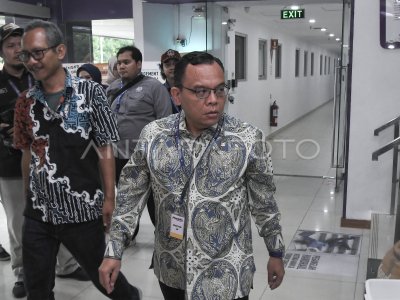
Deputy I Field of Maritime Kemenko Kemaritiman Arif Havas Oegroseno explains the process as well as the purpose of Survey and Mapping of the Sunda Strait in the KRI Rigel Merak research boat Control Room, Banten, Wednesday (3/8). Hydro-Oseanography research aims to map more busy ship traffic flows, making ship rafic arrangement simulations, to the Sunda Cellat Sunda’s potential map carried out Kemenko Kemaritiman with TNI AL for the next 50 days. ANTARA PHOTO/Asep Fathulrahman/foc/16.
The caption is automatically translated by application. Click here for the Bahasa Indonesia version.
Related photo
Tags:


