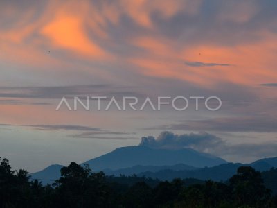
THE LIKELIHOOD OF INCREASED ACTIVITY OF AGUNG MOUNTAIN

Kabid Mitigasi Gunung Api Center of Vulcanology and Mitigasi Disaster Geological Agency Geology Ministry of ESDM Gede Suantika (second left) gave an explanation to citizens who are handy to seek the activity information of Mount Agung, in the Post of Rendang Village Monitoring, Karangasem, Bali, Wednesday (20/9). The Vulcanology and Mitigasi Disaster Geology recommends the discharging of disaster prone areas with a six- kilometer radius and a sectoral area as far as 7.5 km from the summit of Mount Agung, following the tendency of increased activity. ANTARA PHOTO/Nyoman Budhiana/kye/17.
The caption is automatically translated by application. Click here for the Bahasa Indonesia version.
Related photo
Tags:


