MAPPING OF THE MOUNTAIN LAHAR PATH

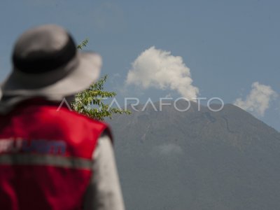
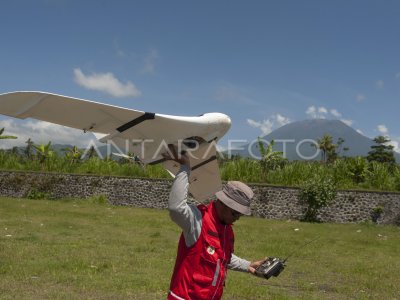
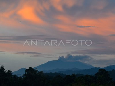
The team member of the Gajah Mada Universtas prepares the aircraft without the crew of the FX-79 Buffalo type for the shooting of Mount Agung’s lahar path that is now still in the city of Amlapura, Karangasem, Bali, Thursday (19/10). The aircraft is capable of exploring more than 3,000 mdpl is used to map the lahar path in a number of areas in the mountain legs as an anticipation of possible disasters. ANTARA PHOTO/Nyoman Budhiana/aww/17.
The caption is automatically translated by application. Click here for the Bahasa Indonesia version.
Related photo
Tags:


