SITE MAP
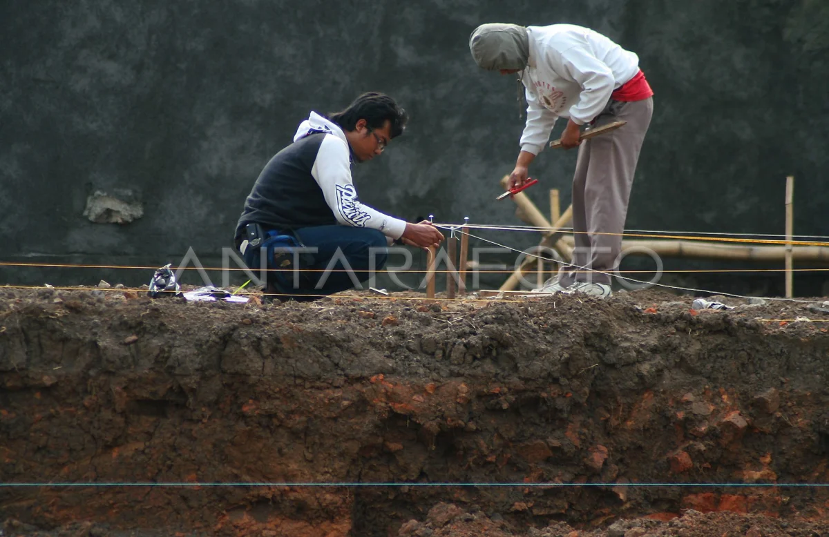
MALANG, 28/10 - PURBAKALA SITE MAP. Two team members of the Trowulan Purbakala Trowulan Safety Chapter, mapping in the series of escalation stage at the new purbakala site found in Dinoyo village, Malang, East Java, Wednesday (28/10). The purbakala site is allegedly a residential and government center in the kingdom of Kanjuruhan in the 8th century 9th century, with the discovery of the structure of the ancient buildings and rupture of the gerabah. ANTARA/Ari Bowo Holypto/ed/NZ/09.
The caption is automatically translated by application. Click here for the Bahasa Indonesia version.
Related photo


Tags:


