MAPPING THE LAND STRUCTURE OF THE HAMMER EARTHQUAKE LOCATION
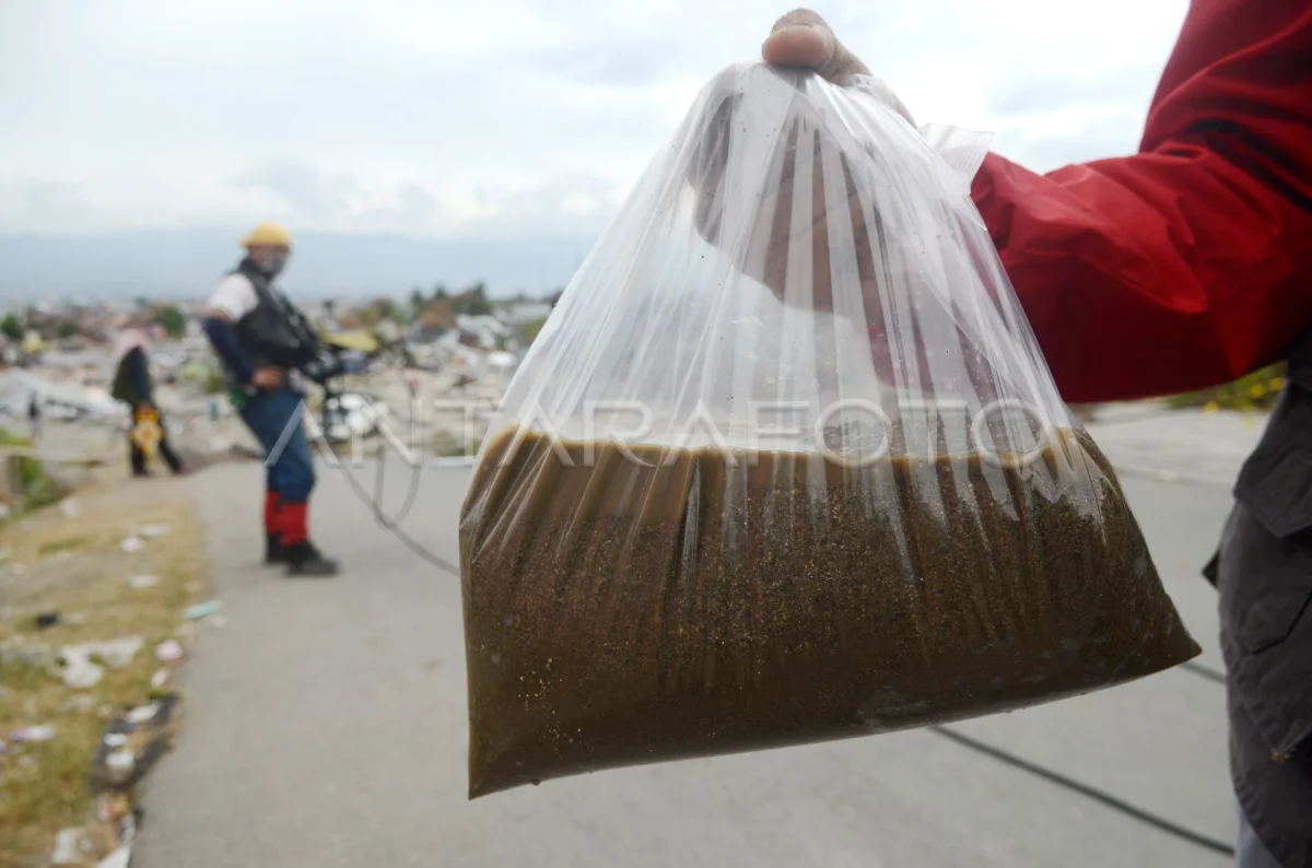
Researcher of the National Earthquake Earthquake Study Center takes sand samples when researching the soil and rock layer structures in Balarowa, Palu, Central Sulawesi, Thursday (11/10). The research to find out the causes of liquification and ensure that the location is worth it. ANTARA PHOTO/Sahrul Manda Tikupadang/ama/19
The caption is automatically translated by application. Click here for the Bahasa Indonesia version.
Tags:


