MAP OF CITY DISASTER DISPOSAL MAP
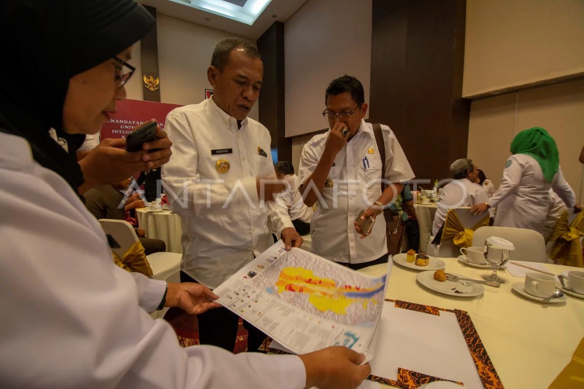
The Mayor of Palu Hidayat (second from the left) advised the map of the disaster zoning composed of a number of technical institutions in Palu, Central Sulawesi, Wednesday (26/12/2018). The map that contains the disasters that will be the foundation to make changes in the Plan of Tata Space and Region (RTRW) and the preparation of the concept of disaster mitigation in Palu City. ANTARA PHOTO/Basri Marzuki/hp.
The caption is automatically translated by application. Click here for the Bahasa Indonesia version.
Related photo

Tags:


